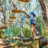
Uncover a network of scenic walking trails and bike riding routes designed for all ages and fitness levels. Whether you’re looking for a peaceful walk, an invigorating bike ride, or a family-friendly adventure, our paths offer the perfect way to enjoy the outdoors and connect with nature.
Wanneroo travel maps
Plan your walking and bike riding routes with Map Your Move Wanneroo featuring downloadable maps with public transport info, bike routes, shared paths, walking trails and nearby facilities or use the Journey Planner below.
Interpretive trails
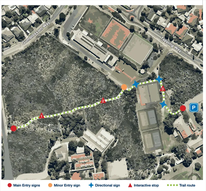
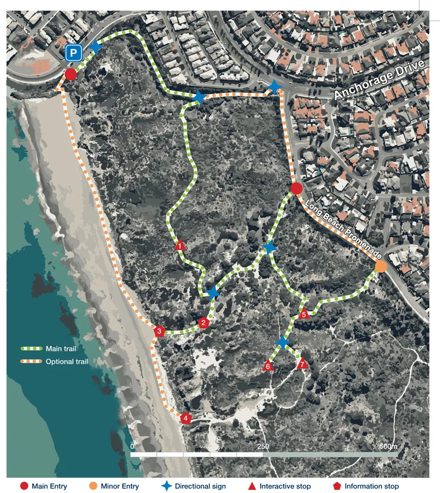
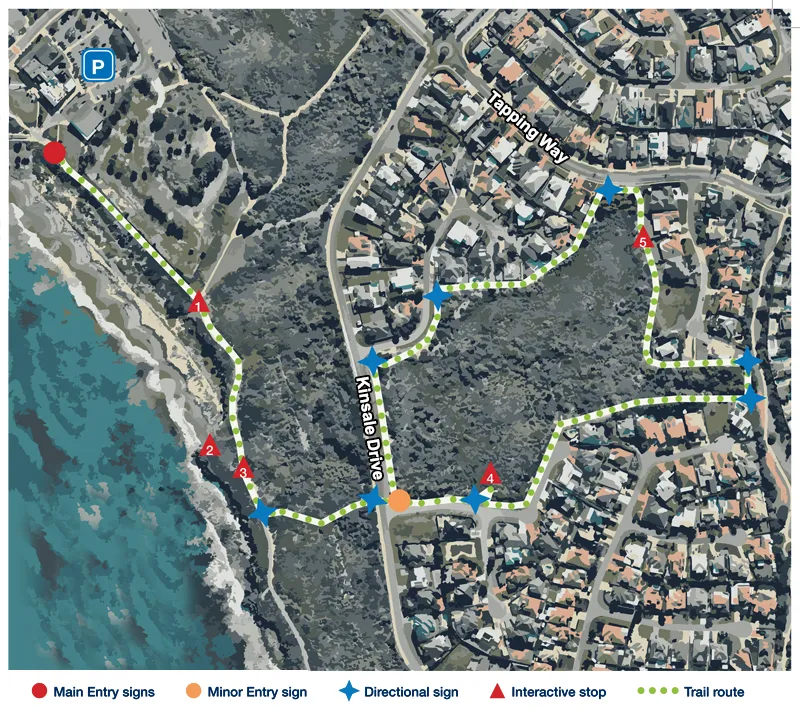
Formed in 1985, the Quinns Rocks Environmental Group (QREG) promotes conservation and awareness of local bushland. To celebrate over 30 years of action, the City of Wanneroo created three interpretive trails in Quinns Rocks and Mindarie, where visitors can learn about the environment using citizen science.
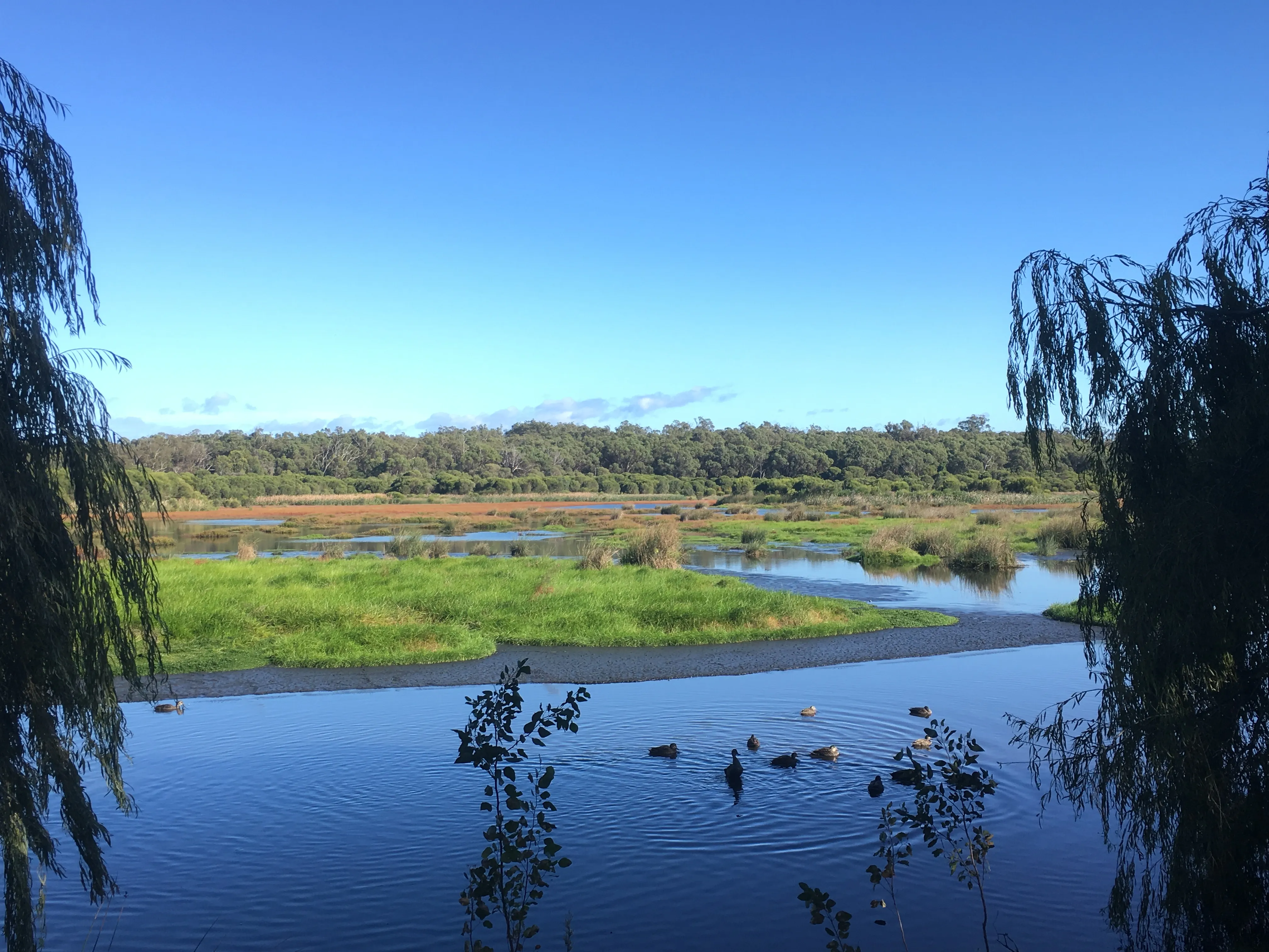
Gumblossom Reserve preserves five hectares of native vegetation typical of the pre-1960s Quinns Rocks area. Its diverse plant species result from intersecting dune systems and varied soils. The reserve supports two main communities - Banksia woodland and mixed shrubland/heathland. These bushland environments are highly sensitive to trampling and fire, which can damage vegetation and wildlife habitat.
South Mindarie Foreshore Reserve will become part of Tamala Conservation Park, a 408-hectare coastal reserve of regional significance. It features diverse plant communities across Holocene coastal landforms, including active dunes from the older Spearwood system and all four phases of the younger Quindalup system, formed 2,000 - 10,000 years ago.
The Quinns-Mindarie foreshore and Kinsale Park feature diverse coastal plant communities, including five distinctive types and a rare species. Remaining bushland and limestone cliffs provide habitat for birds, reptiles, and the Southern Brown Bandicoot (a subspecies unique to southwest WA). Local community efforts have significantly improved vegetation health and preserved conservation values.
Walking trails
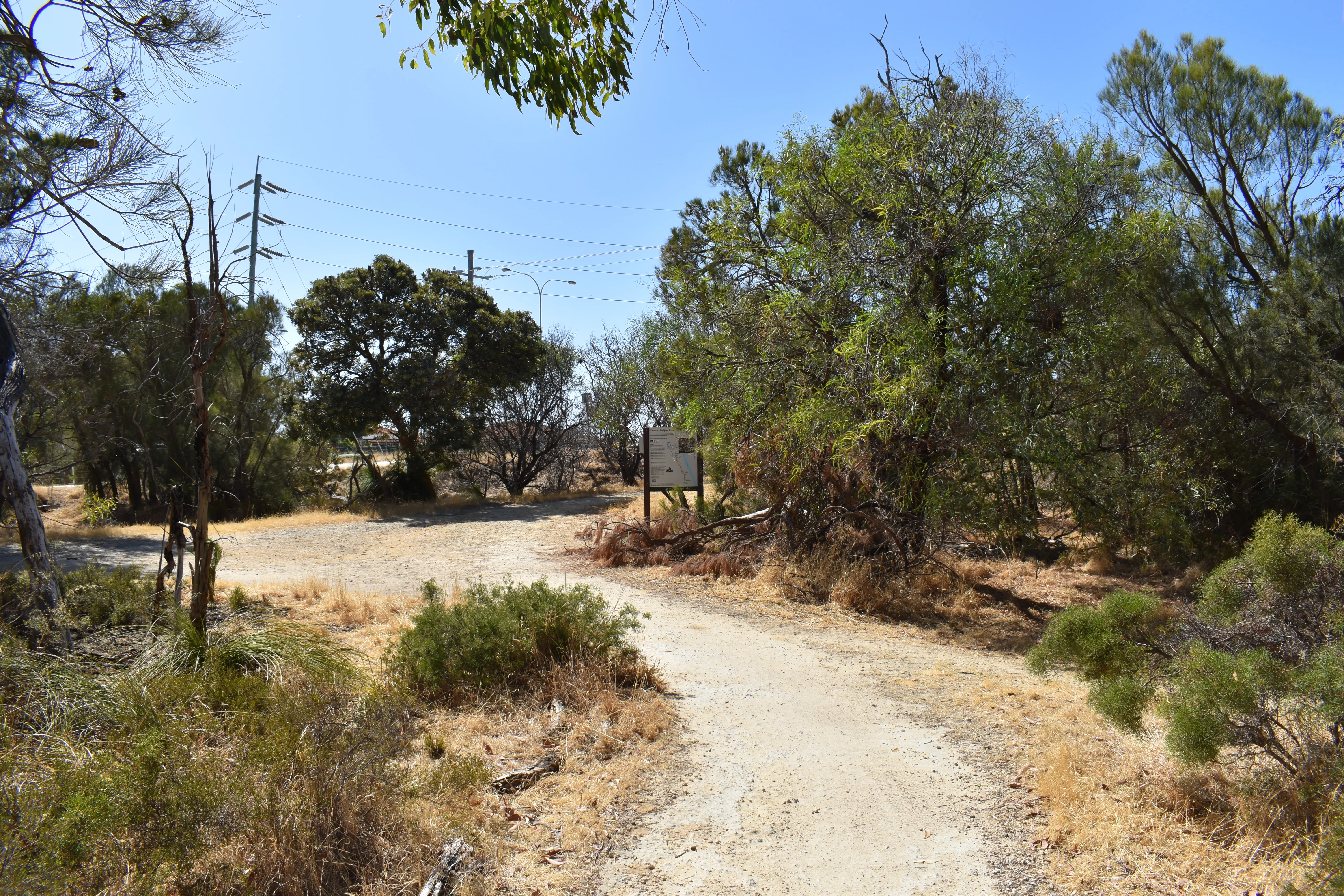
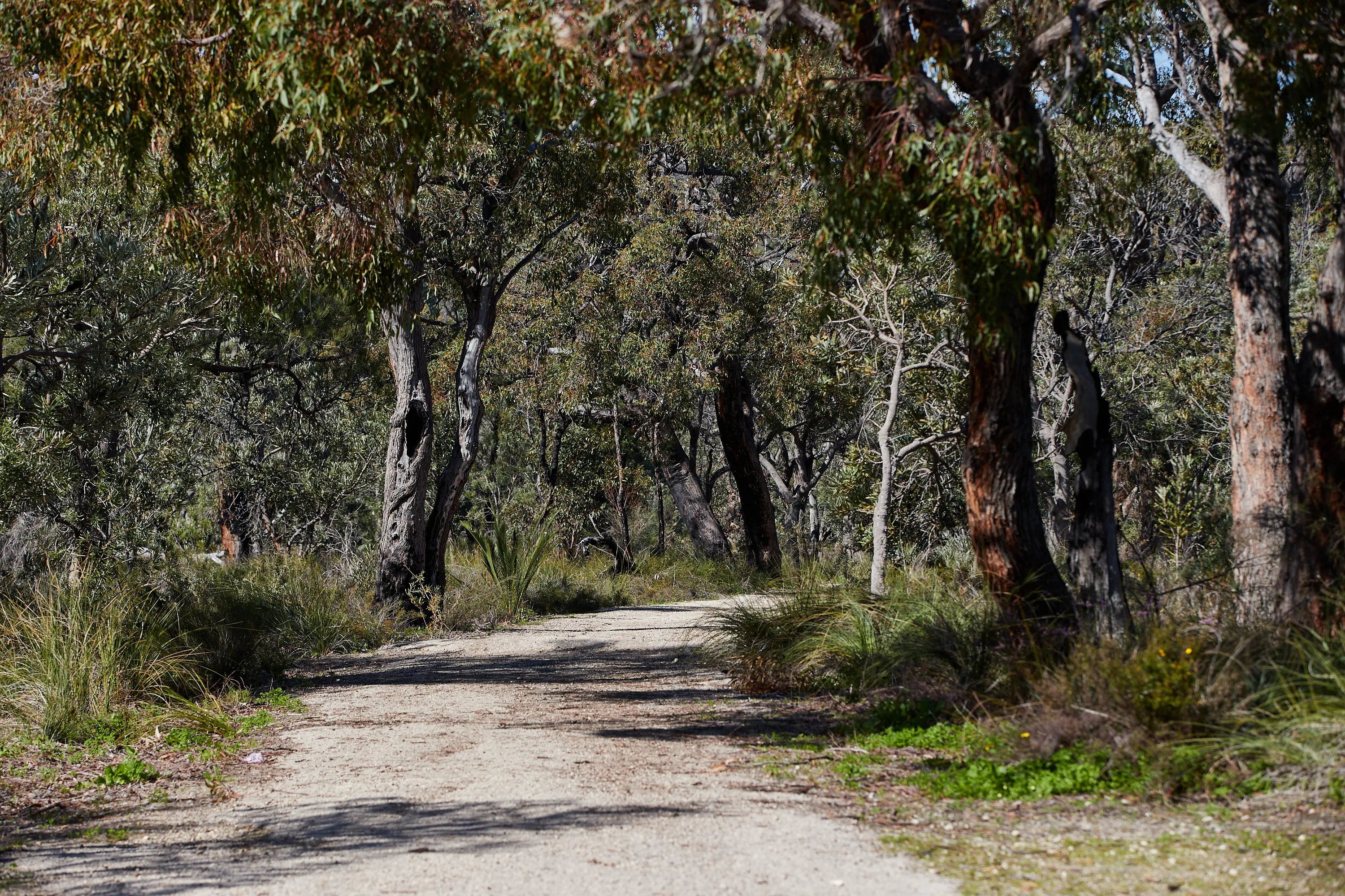
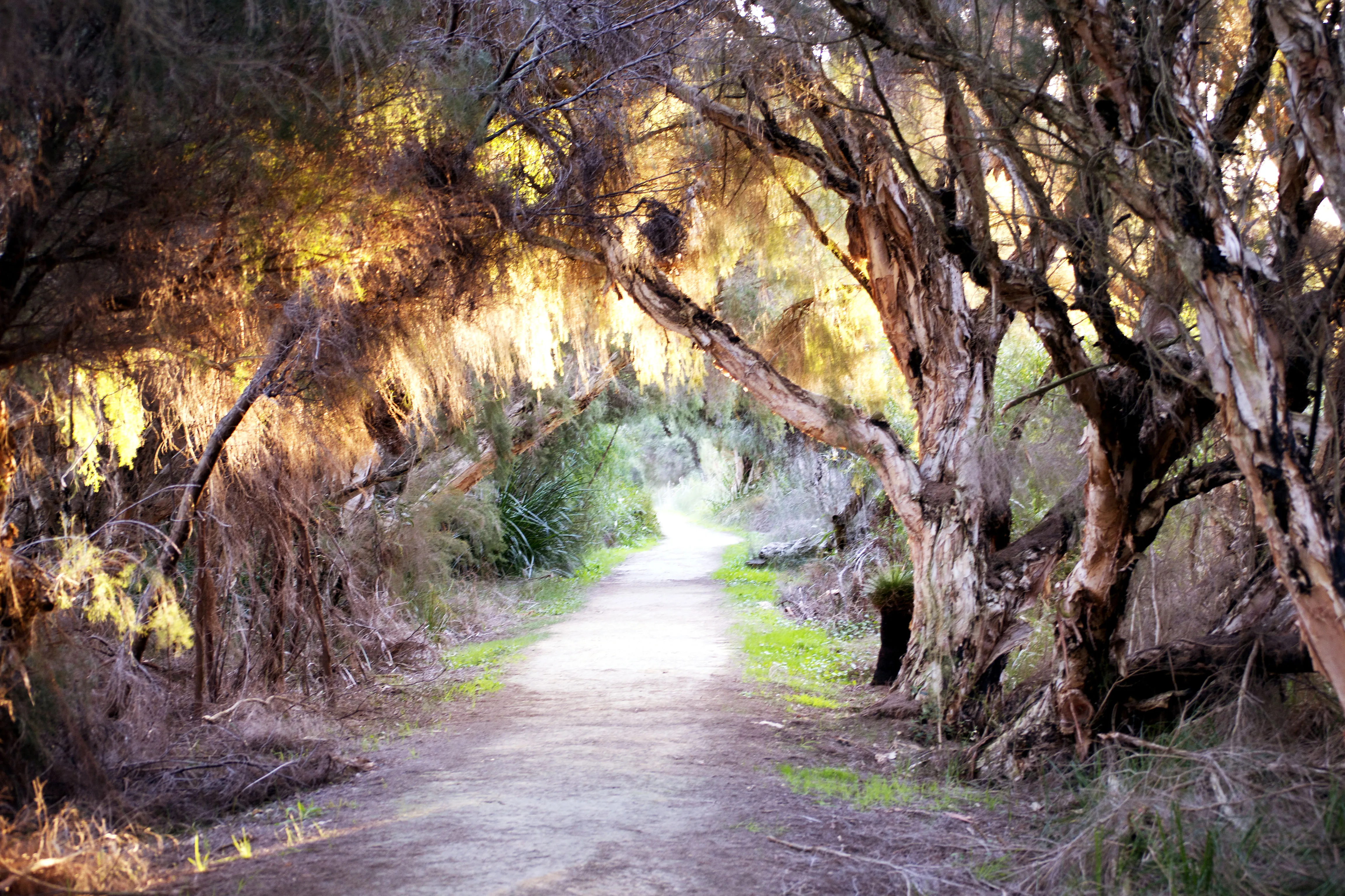
Whether you're looking for a short stroll, a family-friendly walk or a longer nature trail, these paths provide opportunities to stay active, enjoy the outdoors and discover local wildlife and scenic attractions throughout the City.
The 1.2 km 10th Light Horse Heritage Trail in Neerabup National Park marks the site of the regiment’s second World War II camp, established to defend WA’s coastline. The camp included administration areas, horse lines, and manoeuvre grounds. Australia’s last Mounted Cavalry unit was disbanded here in April 1944. Informative signs highlight key sites, with foundations still visible.
Explore Wanneroo’s heritage on the Cultural and Civic Trail, featuring 16 markers that showcase historic sites and events within the original town boundaries. The trail preserves links to civic history and includes public artworks inspired by local culture. Download the map or pick up a booklet from the Wanneroo Regional Museum.
The 28 km Yaberoo Budjara Heritage Trail runs from Neil Hawkins Park through Yellagonga, Neerabup, and Yanchep National Parks. Named for “land of the people north of Perth,” it follows the traditional Whadjuk Noongar track later used as a stock route. The trail showcases natural, Aboriginal, and historical features and can be completed in full or as five shorter sections.
Suitable for bushwalking, trail running and mountain biking. Dogs are allowed on lead, except in Yanchep National Park.
The South West region, including the City of Wanneroo, experiences six Noongar seasons, each marked by changes in plants and animals. Traditionally, Noongar people used these natural indicators to hunt, gather, and care for the land, for example, a hazy summer sky signaled salmon running, while paperbark blossoms indicated mullet fish. This deep environmental knowledge continues to inspire sustainable practices today. Learn more about each season and its signs by exploring three local walking trails in Marangaroo, Quinns Rocks, and Wanneroo.
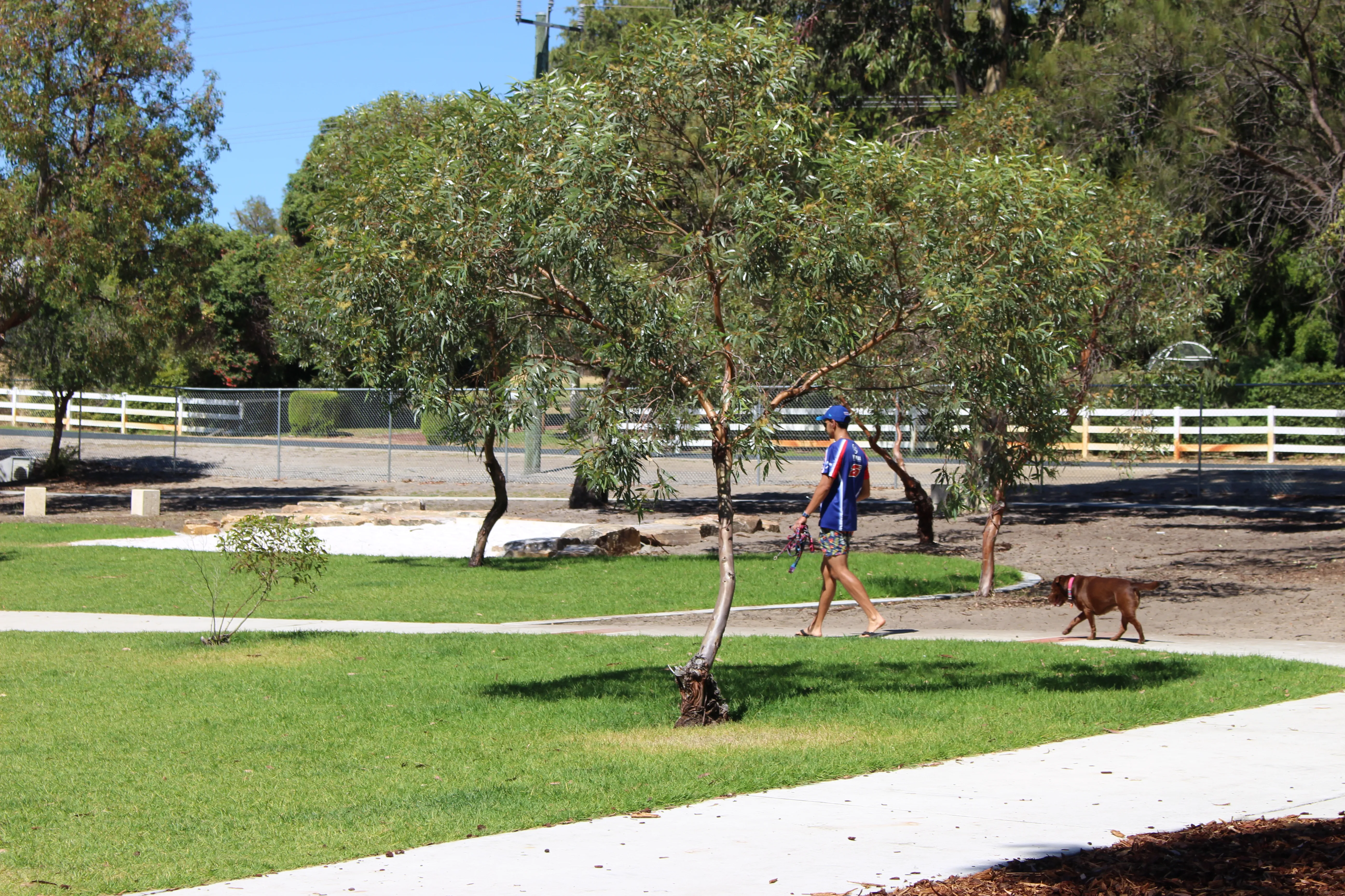
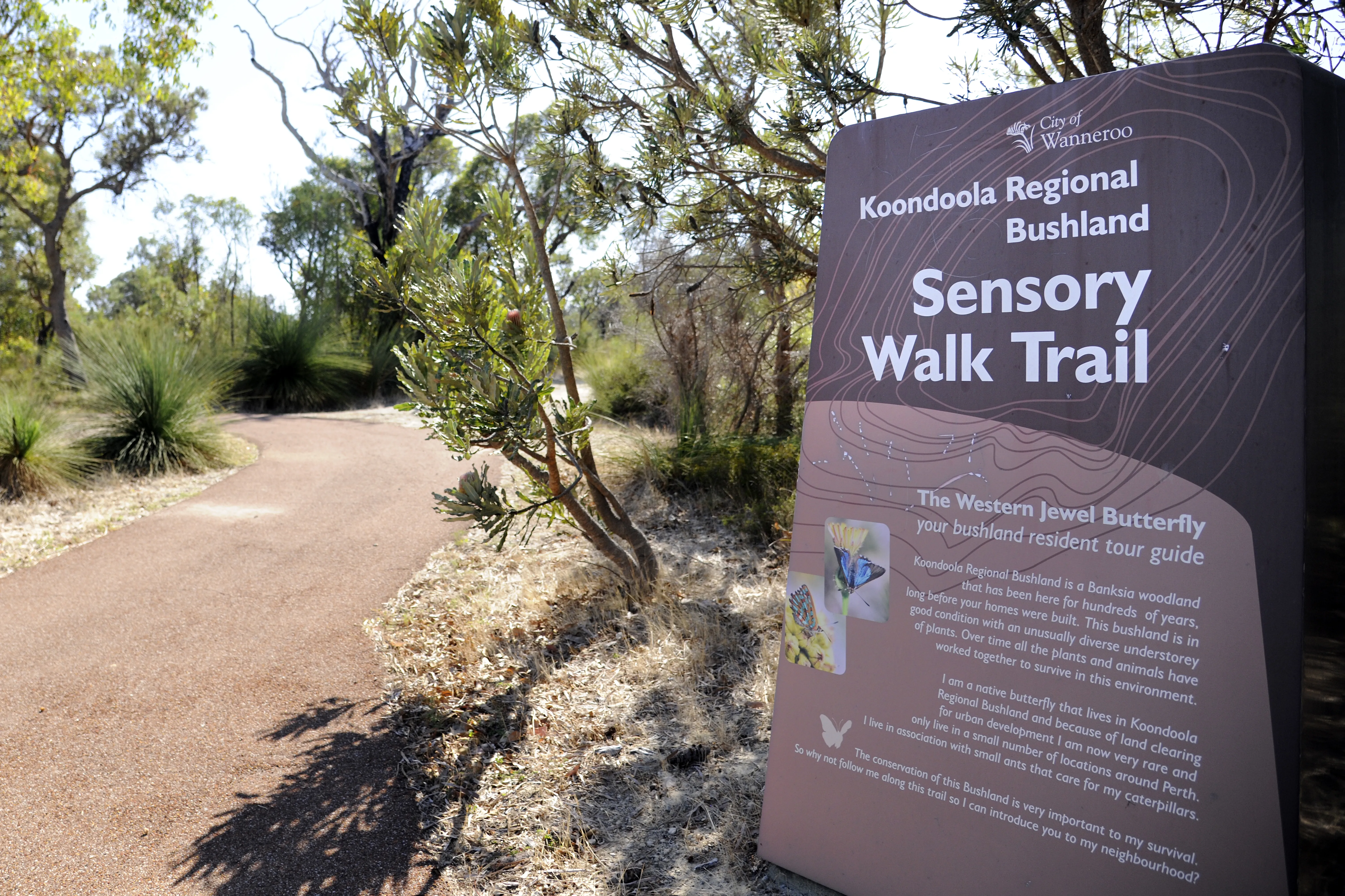
View other City of Wanneroo walking trails including 10th Light Horse Trail, Neerabup National park, Edgar Griffiths dog park, Koondoola Sensory Walking Trail and the many walking trails within Yanchep National Park.The City also offers a range of digital trails, featuring interactive challenges and app-based experiences designed to engage families and encourage exploration in a fun and contemporary way.
For more information, maps and ideas on what to see and do, explore the Discover Wanneroo website.
Caring for the trails
- Tread lightly: stay on the established trails. Taking short cuts or going off trail disturbs vegetation and can cause erosion.
- Be clean: take all your rubbish and waste home with you.
- Respect wildlife: please do not feed wildlife. Feeding can make them dependant on humans, cause illness and spread disease.
- Leave what you find: do not pick wildflowers.
- Quietly, quietly: you will have a better chance of seeing and hearing the wildlife if you keep your noise levels down.
- Safe walking: carry drinking water, wear a hat, appropriate clothing and use sunscreen. The trail is a limestone path most of the way, but can be rough in parts. Suitable bushwalking footwear should be worn.


Bike riding
Bike riding offers many benefits, including reduced traffic congestion, improved health and fitness, lower transport costs, reduced reliance on fossil fuels and better access to everyday activities for people of all ages.
Experience Western Australia’s first purpose-built criterium circuit at Splendid Park, Yanchep. This 1.38km track loops around the park’s ovals and hard courts, featuring a 6m wide surface and an 8m finishing straight designed for competitive bike riding.
Features
- Electronic timing system with LED display.
- Permanent pit area, bike racks, and team marquee spaces.
- 17 low-level security lights (not suitable for racing).
- Ample parking: 185 internal bays (including ACROD) plus roadside bays.
Operating hours
Monday and Thursday: 7am - 4.30pm (club bookings after 4.30pm)
Tuesday, Wednesday, Friday, Saturday, Sunday: 7am - 6pm
Bookings
The track is open for casual, free use, with priority bookings available for clubs and events (fees apply).
To book, contact the City of Wanneroo Community Facilities team, call 08 9405 5000 or email facilitybooking@wanneroo.wa.gov.au
Additional amenities
Splendid Park also offers two playing fields, multipurpose hard courts, a skate park, playground, kiosk, change rooms and a multipurpose room.
Local club
Northern Beaches Cycling Club calls Splendid Park home. For club details, email northernbeachescycling@gmail.com or call 0421 083 688.
The City offers six bike repair stations for quick, on‑the‑go bike maintenance at:
- Butler Community Centre, Butler.
- Clarkson Library, Clarkson.
- Jindalee Foreshore, Jindalee.
- Kingsway Indoor Stadium, Madeley.
- Leatherback Park, Alkimos.
- Quinns Mindarie Surf Life Saving Club, Quinns Rocks.
Active Transport Plan
The City of Wanneroo has developed the Active Transport Plan 2026/27 - 2030/31 (PDF), which sets out our vision for safe, connected and reliable walking, cycling and eRideable options across the community. Explore the details in Part A: Strategic Direction [PDF] and Part B: Implementation [PDF].
This work supports the City’s long‑term goals of creating a well‑planned, resilient and easy‑to‑navigate city while promoting a more sustainable transport future. View Long-term cycle network for Perth and Peel map.
Help improve shared path safety with SafePaths
Safe paths are vital for walking, riding, and eRideables—but many near-misses and crashes go unreported.
The SafePaths Research Project (led by the Planning and Transport Research Centre at The University of Western Australia) uses community reporting and video analytics to identify high-risk locations and improve future path designs.
Have you experienced or witnessed an incident on a shared path? Report an incident on SafePaths.au to help build a safer network.
Please Note: SafePaths is an experimental research platform used to collect data, not an official emergency or maintenance channel.
- Emergency/life-threatening: 000
- Main Roads WA: 138 138
- Path maintenance (potholes): Report to the City
Long-Term Cycle Network