Action plan endorsed to manage coastal erosion
Published Wednesday, 22nd August 2018
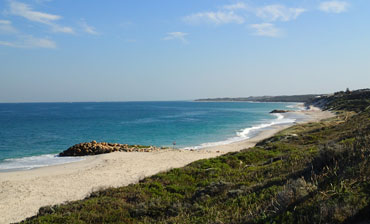
A plan for the future erosion management of the City of Wanneroo’s 32 kilometres of coastline has been endorsed by Council.
The City’s Final Coastal Hazard Risk and Adaptation (CHRMAP) Report identifies areas of coastline that are vulnerable to coastal erosion due to the effects of climate change, and outlines a plan to monitor and manage areas at risk.
The City has completed the CHRMAP in two main components; the first component involved a coastal hazard vulnerability study which investigated the potential impact of coastal erosion and sea level rise on the City’s foreshore areas over the next 100 years.
The second component considers community feedback to determine how the community uses and values the City’s foreshore, and to determine appropriate and sustainable strategies to manage the City’s most vulnerable coastal areas. The project included extensive community consultation, including letters sent to residents potentially affected by sea level rise, and a series of workshops and information sessions held at key locations across the City.
Adoption of the CHRMAP Report marks the beginning of the implementation phase to 2030, including 13 recommendations for the City to action.
Endorsed recommendations include improving the City’s coastal monitoring program; increased community education; improved notification of coastal risk for current and future landholders; improved beach nourishment programs; understanding the economic value of environmental assets in the foreshore; detailed analysis of management options for highly vulnerable areas such as Yanchep and Two Rocks and an assessment of how the City’s planning and emergency controls align with the identified coastal erosion risks.
Wanneroo Mayor Tracey Roberts said the City has been proactively working to identify solutions for coastal erosion for several years.
“The City recognises that coastal erosion is a significant concern for our community and future generations, and this Final CHRMAP Report will provide valuable direction for future planning decisions,” Mayor Roberts said.
“In addition to existing infrastructure and assets, there is significant demand to further develop along the City’s coastline.
“It is extremely important to understand what the potential impacts of rising sea levels are, and plan to mitigate the risks into the future.”
“The adoption of the Final CHRMAP Report enables the City, developers and residents to effectively manage coastal hazards and erosion for both existing and planned infrastructure and assets.
This project was part funded through a grant from the Department of Planning, Land and Heritage.
Further information on the Final CHRMAP Report can be found on the City’s website, www.wanneroo.wa.gov.au/coastalmanagement.
More articles in the news archive.